
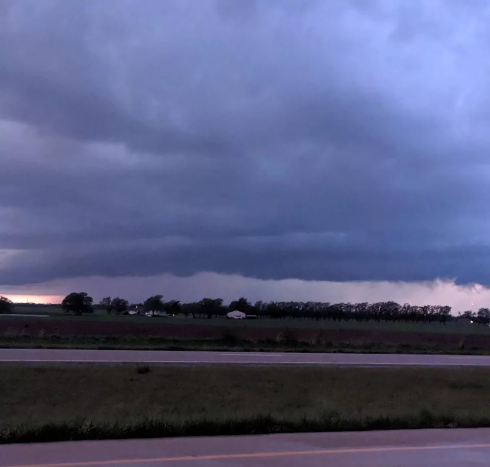
A storm system has moved into Kansas with rain and thunderstorms that will be followed by colder temperatures, strong winds and snow.
Rain activity moved across southern Kansas early Tuesday and there were still moderate to heavy rains across southeastern parts of the state in the early morning hours.
KFDI’s weather partners at KWCH, Storm Team 12 are saying the next part of the storm will develop late Tuesday. An area of rain mixing with and changing to snow is likely along and east of a Hays to Dodge City line. While snow accumulation will generally be light, and mainly on grassy areas, north wind gusts over 50 mph will create near blizzard conditions. There could be a trace to an inch of snow in the Wichita area.
The National Weather Service has issued a high wind warning for most of Kansas from noon Tuesday through 9 a.m. Wednesday. Northwest winds will be 30 to 40 miles an hour with gusts up to 65 or even 70 possible, creating a potential for damage to trees and power lines.


