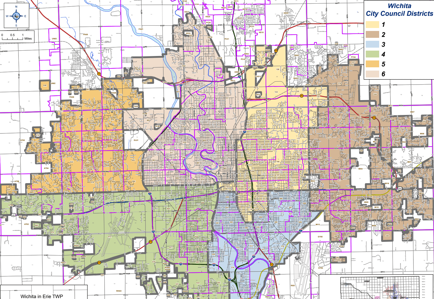
Wichita City Council members have appointed a seven-member commission of electors to look at redrawing the boundaries for the six council districts.
Scott Wadle with the city’s planning department presented population maps of the districts to Council members on Tuesday, and the maps show an imbalance in districts 2 and 3. The boundaries will have to be redrawn to reflect population changes from the 2020 Census, and the commission could look at the possibility of expanding the Council from six to eight districts. Wadle said there can be no greater than a five percent difference in population among the districts.
The commission will have a series of meetings, and they will develop some options for new district maps. A recommendation will be made to the City Council by August 31st, and then the Council will take the issue to the District Advisory Boards for input. A final map will have to be approved by the end of the year.


