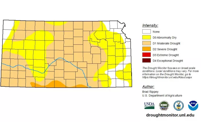
The National Weather Service has issued a report saying that drought conditions will continue through the western three-fourths of Kansas through June, with the forecast calling for above average temperatures and below average precipitation.
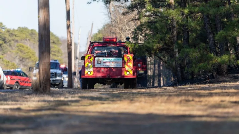
The report said meaningful precipitation amounts are expected across the state over the next seven days, with the highest amounts in southeast Kansas, but a La Nina weather pattern is expected to continue and that favors a drier and warmer spring. With drier conditions expected in April, there will be an above normal forecast for a significant wildland fire potential.
Three percent of the state is reported to be in severe drought, with 54 percent in moderate drought conditions and 33 percent rated as abnormally dry.
Precipitation in March was mostly below average, but parts of eastern and northwestern Kansas had near to above average precipitation. For the year to date, Wichita’s Eisenhower National Airport was almost two and a half inches below average for the driest period since 2018. Anthony was 3.1 inches below average and Newton was 2.78 inches below average.
This was the warmest March since 2012 for most locations in the state. Wichita’s average temperature was 52.6 degrees, 5.2 degrees above normal for the 6th warmest March. Salina had an average of 51.7 degrees, which was 6.4 degrees above normal. The dry and warm weather has led to worsening drought conditions across large areas of the state.


